
Skip to content
    LandTech Solutions

    Technology

    Technology meets
    the field.

    Our investment in modern instrumentation and software ensures every project benefits from the latest advances in geospatial technology.
    6
    Technology Domains
    11
    Instruments & Tools
    16
    Software Platforms
    34
    Application Areas

    GNSS / RTK

    Accuracy: 1–2 cm (H), 2–3 cm (V)

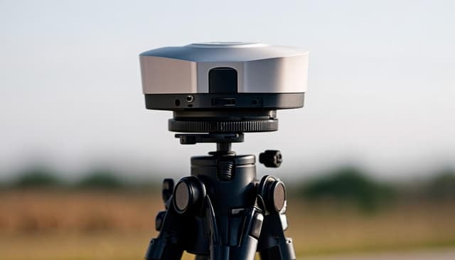
    Dual-frequency satellite positioning for centimetre-accurate surveys. Connected to CORS networks for real-time corrections across Tanzania.
    1–2 cm (H), 2–3 cm (V)
    GPS, GLONASS, Galileo, BeiDou
    CORS Network / NTRIP
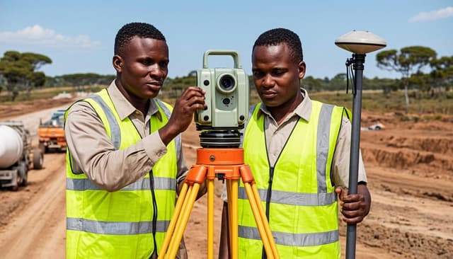
    Leica VIVA GS14CHC N71NAVCON RTK

    Total Stations

    Angular Accuracy: 2″ (Leica TC1202+)

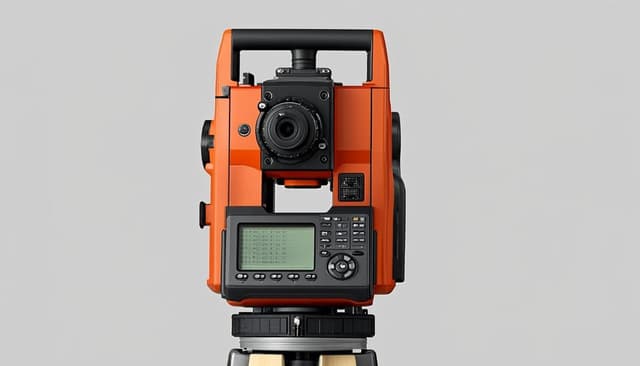
    High-precision optical and robotic total stations for detailed surveys, construction set-out, and deformation monitoring.
    2″ (Leica TC1202+)
    2 mm + 2 ppm
    Up to 3,500 m (prism)
    Leica TC1202+ (Robotic)Topcon GTS-750 (×3 sets)Leica CS20 Data Collector

    UAV / Drone

    Ground Resolution: 2–5 cm GSD

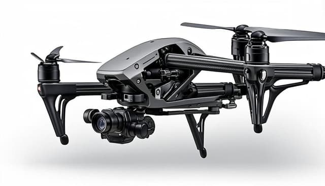
    Aerial photogrammetry and orthophoto mapping for rapid large-area surveys, volumetric analysis, and 3D modelling.
    2–5 cm GSD
    Up to several km²/day
    Orthophotos, DSM, 3D Models
    F+ Series 2.4 GHz Survey Drone

    Levelling Systems

    Digital Accuracy: 1 mm / km (Leica Sprinter 250M)

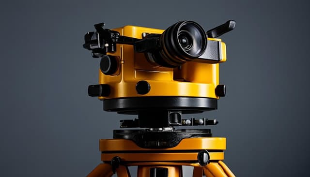
    Precision height measurement for engineering surveys, construction set-out, and vertical control establishment.
    1 mm / km (Leica Sprinter 250M)
    2.5 mm / km (Nikon AC-2S)
    Automatic digital / optical
    Leica Sprinter 250M (Digital)Nikon AC-2S (Auto Level)

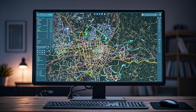
    GIS & Remote Sensing

    Platforms: ArcMap GIS, QGIS, PostGIS

    Geographic information systems, spatial analysis, and cartographic mapping solutions for land administration and resource management.
    ArcMap GIS, QGIS, PostGIS
    Shapefile, GeoJSON, GeoTIFF, KML
    Thematic maps, databases, web maps
    Leica CS20 Data CollectorGNSS Receivers (field data capture)

    CAD & Design Software

    Core Platform: AutoCAD + Civil 3D

    Professional computer-aided design and engineering software for plan production, 3D modelling, and infrastructure design.

    AutoCAD + Civil 3D
    12D Model, PLS-CADD
    Land Desktop
    Leica CS20 Data CollectorOffice Workstations

    Integrated Technology Workflow

    How our technology stack works together from field to final plan

    1Field Data Capture
    GNSS / RTK
    Total Stations
    UAV / Drone
    Levelling Systems
    2Data Processing
    Leica CS20 Controller
    Photogrammetry Software
    SDR Mapping
    3Analysis & Design
    GIS & Remote Sensing
    CAD & Design Software
    12D Model
    4Plan Output
    AutoCAD
    Land Desktop
    ArcMap GIS
    QGIS

    Software Platforms

    Leica CaptivateCHC LandStarNAVCON Field SoftwareTopcon Magnet FieldAutoCADPhotogrammetry SoftwareArcGISQGISPLS-CADD12D ModelArcMap GISPostGISSDR MappingMapSuiteCivil 3DLand Desktop
    LandTech Solutions

    Land Surveying • GIS • Mapping • Geospatial

    Professional land surveying and geospatial services across Tanzania since 2012. Precision data for informed decisions.

    BCLS Licensed • IST Corporate Member • BRELA Registered

    Services

    Land & Cadastral SurveyingTopographic SurveyingEngineering SurveyingGIS & MappingGeodetic & GNSSTown & Urban Planning

    Company

    About UsProjectsTechnologySectorsTeamContact

    Contact

    • Sinza, Kivulini, along Sam Nujoma Road, Opposite Mlimani City, Dar es Salaam, Tanzania
    • +255 22 270 0084
    • info@landtech.co.tz
    • Mon–Fri: 08:00–17:00 | Sat: 08:00–13:00

    © 2026 LandTech Solutions. All rights reserved.

    Privacy PolicyTerms of ServiceStaff Email